The parishes and agencies of the Archdiocese of Brisbane are a vital part of communities across South East Queensland. Our footprint extends for 77,000 square kilometres from the New South Wales border, north to Hervey Bay and west to Eidsvold and Gatton.
You will find us in:
- 94 parishes
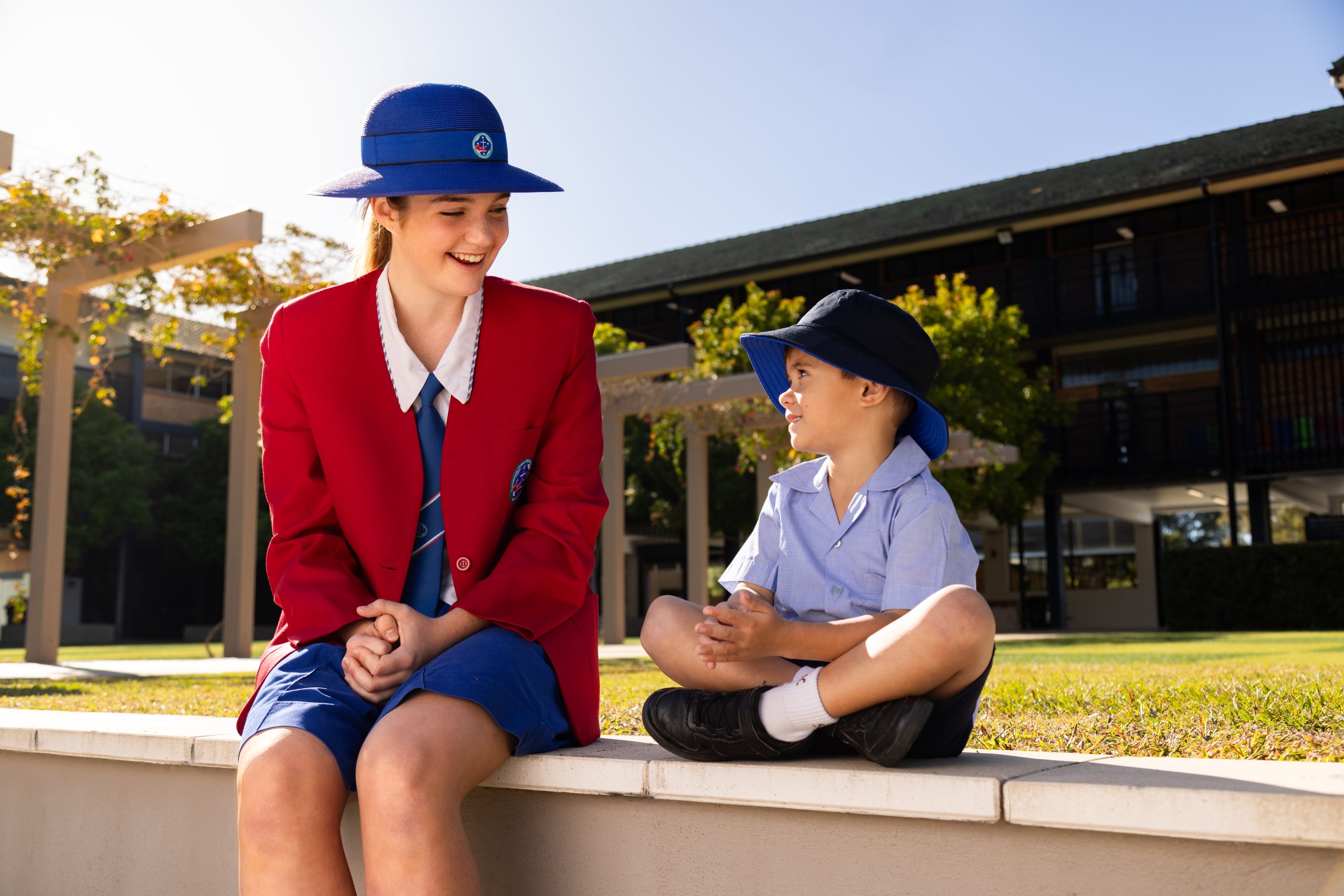
- 146 Brisbane Catholic Education Schools
- 190 Catholic Early EdCare and Centacare age care, disability and family and relationship services locations
- and in every corner of the community through our outreach ministries.
Promoting strong vibrant and inclusive communities
Together the agencies of the archdiocese provide:
- education to 76,000 students in Brisbane Catholic Education schools
- early learning and care to 28,950 children in Catholic Early EdCare
- 2.6 million hours of support to disability and aged care clients
- support to 28,265 people affected by domestic and family violence
- ministry to thousands in our prisons, hospitals and seafarer communities
- help to 1,289 people living with (or at risk of developing) mental illness
- support to 8,008 seniors to live well in their home and community
- home maintenance and modification services to 11,864 older Queenslanders and people with a disability.
Catholics in the Archdiocese of Brisbane
A snapshot of the archdiocese based on the 2021 National Census shows a Catholic population of 684,423 people from amongst a total population of 3,815,443 who live within diocesan borders, equating to 17.9% of the population. Amongst this cohort there were 285,557 Catholic families, as well as 63,483 Catholics who lived alone. A total of 170,485 Catholics were born overseas. The median age of a Catholic within the Archdiocese was 43 years *.
* Figures quoted are provided from the National Centre for Pastoral Research based within the Australian Catholic Bishops Report and issued in July 2023.